

 This map may make you think it is the temperature range for the day. It is actually a rainfall percentage map for June and July.
 All the little 100s over the state are locations that received 100% of the average rainfall for June and July. Some areas received more.
This map from the Iowa Environmental Mesonet indicates that most of the state is at or very close to record rainfall amounts for the year.
Harry Hillaker...Iowa's state climatologist ...indicated that we were already past the rainfall totals that were records in 2008. During August of that year we only had an average of 2 inches of rain for the state. We are already above that in many areas from the last 48 hours of rainfall.
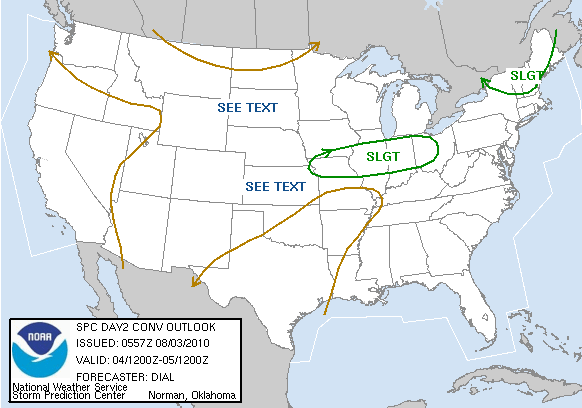
The other two maps show the slight risk for severe weather today and tomorrow. It swipes a path through central Iowa. We will see the chance for another night of lighting and crashing thunder. Another .50" to .75" of rain is expected over the area. We will have some isolated totals of 1" to 2".


No comments:
Post a Comment